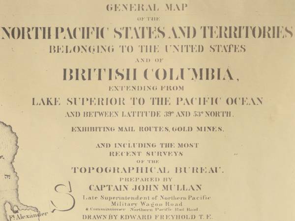
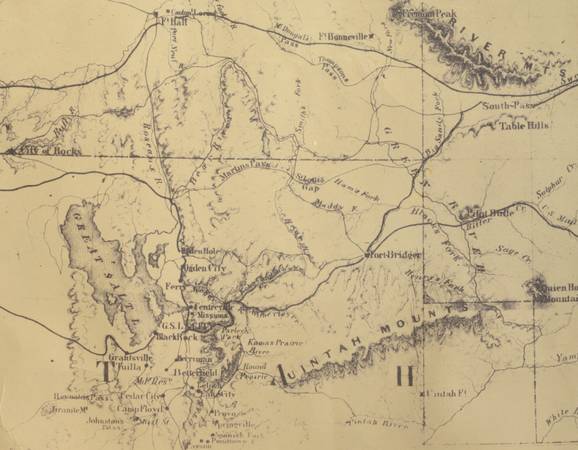
Map of North Pacific states, territories, and parts of BC, shows mail routes and gold mines.
Prepared by Captain John Mullan, drawn by Edward Freyhold, lithographed by J Bien, unframed.
24.5" x 39", date can be inferred from rendering of states and territories, good condition.
Cash only, no delivery. $50.